|
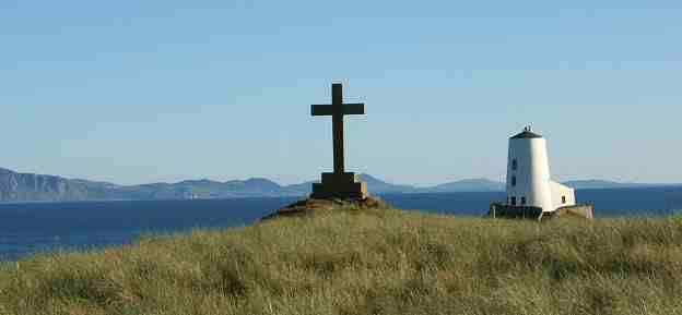
History of Anglesey Coast
The coast of Anglesey is rich in history as well as natural beauty. Over the centuries the island's coastline and its people have witnessed historic and dramatic events.
The Anglesey Coastal Path was officially opened by the Rt. Hon Rhodri Morgan, former First Minister for Wales, in June 2006. It is hoped this designation will act as a catalyst for the whole Welsh coast to be accorded similar recognition.
Learn more about the Anglesey Coastal Path
You may be interested in ancient history, including the Neolithic, Bronze and Iron ages together with the Roman occupation. Or perhaps you are fascinated by events on the island during what is referred to as the Early Christian Period.
If you would like to know more about developments on Anglesey during the Middle Ages and beyond, you will find the information here. And remember significant changes brought about by the Industrial Revolution. We aim to bring you information on these too.
As someone who lives on Anglesey and has sailed around the island, I thought about how I could best present these interesting facts. You will see the historic coast is split into four sections, namely north, east, south and west. If you are not planning on sailing around the island, don't worry. We now have some excellent coastal footpaths which give you a great opportunity to visit some of these interesting places. And now you can see some video clips of this fine coastline.
Discover more about this Area of Outstanding Natural Beauty
Directions:There are two roads running through the island, from Holyhead to Menai Bridge, namely the A55 dual carriageway and the original A5 trunk road. The A55 can get you across the island quite quickly. If you want to explore the northern coast, take the A5025 either at Menai Bridge (East) or valley (West). You will see from the OS map or a road map the various lanes and paths that link up to the main roads. Second recommendation: take a good pair of walking boots with you!
Discover the secrets of Ynys Gorad Goch in the Menai Straits, between Anglesey and the mainland.
Learn about how local fishermen used the strong tides and weirs around this small island to catch fish and then supply the Augustinian monasteries on Anglesey. To read more click here.

From Moelfre to Menai Bridge on the Menai Straits Penmon Priory, St Seiriol's Well and the Dovecote
This covers the coastline between Carmel Head, at the North Western tip of the island, and Moelfre, a village on the north east coast with a rich maritime history. Skerries Lighthouse
Discover the story behind this important Trinity House Lighthouse.
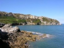
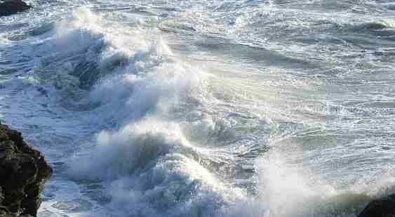
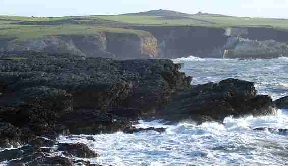
Carmel Head This represents the North West tip of the isle of Anglesey. An exposed headland that gives the visitor great views to the south and west, taking in Holyhead Bay, as well as the north and east. Between this point and the Skerries lighthouse is a treacherous stretch of water called the Langdon ridge. Throughout history this coastal stretch has claimed a number of passing ships.
Discover more about Carmel Head and see some great photos
West Mouse This is a small isolated rock about one mile (1.6 km) east of Carmel Head. The currents around this rock are very strong and it has its own history of wrecks.
Learn more about West Mouse
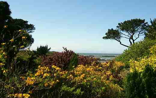
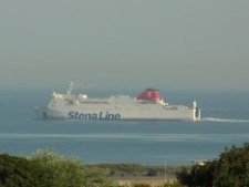
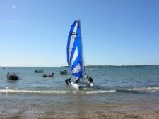
Cemlyn Bay As you continue eastward along the coastal footpath you will approach Cemlyn Bay. In this fascinating place you will discover a lagoon and Bird Reserve. With its calm water, Cemlyn offers a sharp contrast to the turbulent tidal waters off the coast. It's great if you want to do some birdwatching or just simply relax and appreciate the natural beauty of this spot. But this place has a rich maritime tradition, and Cemlyn Lifeboat was the first of many to be established along the North Wales coast.
Learn more about heroic rescues here.
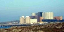
Cestyll Garden, between Cemlyn and Wylfa This is a beautiful location and well worth the visit. A spot close to the sea and surrounded by generous coverage of pine and beech. Very interesting selection of plants. The Hon. Violet Vivian, who lived here, designed the garden in 1922.
Read more and see some great pictures
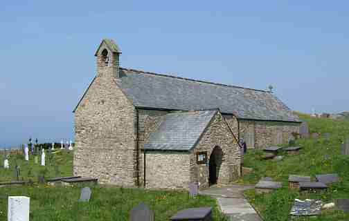
Llanbadrig Church Visit Llanbadrig Church near Cemaes. Founded by St Patrick, patron saint of Ireland, in the 5th century, this is one of the earliest Christian sits in Wales.
See the influence of Islamic art in the building lovingly restored in the mid-19th century by Muslim convert, Lord Henry Stanley.
Also one of the shot locations of Demi Moore film Half Light.
|